
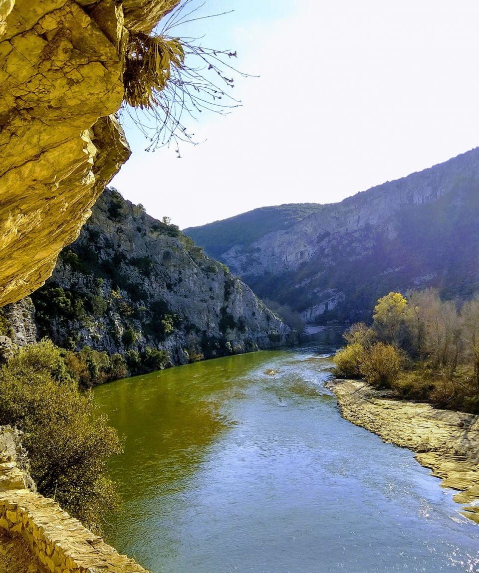
Route: Galani – Kromniko Station
The entire route follows a stone-built path. A low parapet wall gives a sense of safety. The flow of the water now moves away, now draws closer, avoiding the sand dunes that form in the riverbed. The route continues like this for about five kilometres, ending at Kromniko station. For most of its length the path is relatively flat or gently sloping. At times it runs close to the river, at times it moves away, and at times it passes over the tunnels. At one point there is a gazebo from which we can admire the meanders of the Nestos. During the hike we will make several stops at beautiful spots to enjoy the view. The return can be made along the same path.
Gear and clothing
- Backpack (15–30 L)
- Hiking boots or shoes
- Long hiking trousers
- Fleece or technical jacket
- Waterproof/windproof jacket
- 1–2 thermal base layers
- Underwear and socks
- Sunglasses, sunscreen and hat
- Headlamp
- Trekking poles
- Water bottle (at least 1.5 L)
- Snacks (energy bars, chocolate)
Includes
- Guiding and organisation
- Civil liability insurance
- Digital photos
Cost
€20 per person, minimum package price €60
This route is grade 1
- 1EasyFor everyone. 1–2 hour routes with uphill or downhill sections.
- 2ModerateGood fitness and the stamina for 3–5 hours of hiking a day.
- 3DifficultPrevious experience on mountain terrain. Steep climbs, 5 hours or more.
- 4AdvancedSteep, sustained trails all day. Very high fitness.
You may also like
All activities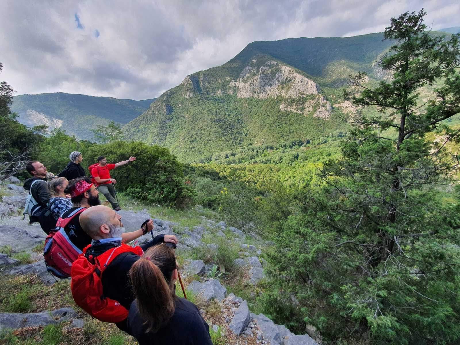 Hiking
Nestos Gorge – Kromniko
Itinerary: Kromniko – Galani (or Galani – Kromniko) The route is part of the international mountaineering trail E6 and Nestos-Rodopi Trail. It…
 Hiking
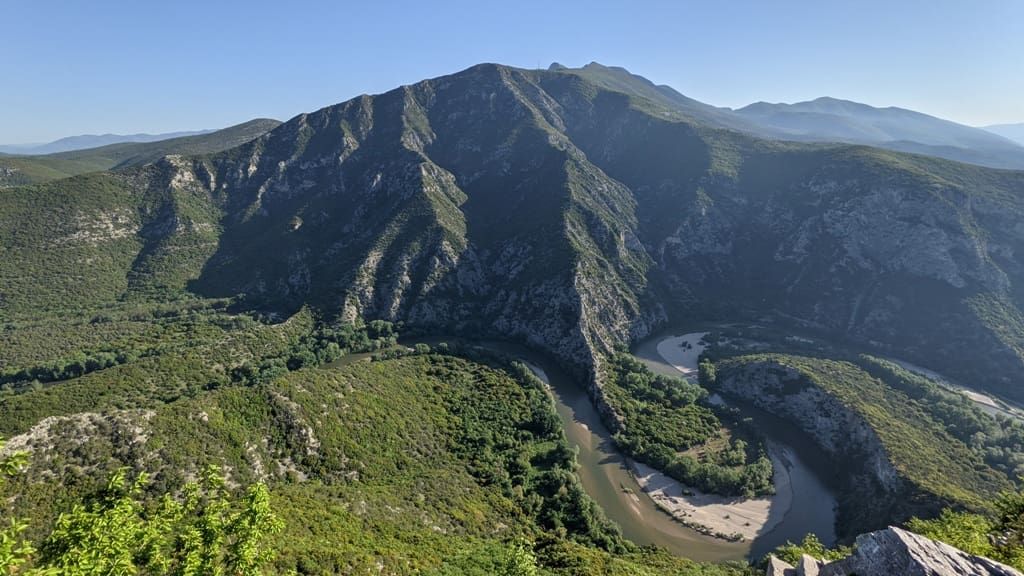
The Nestos Forts
Route: Paradeisos – Ochyra An enjoyable route which is ideal for this time of the year, on the opposite side of Galani. Passing the climbing areas of…
 Hiking
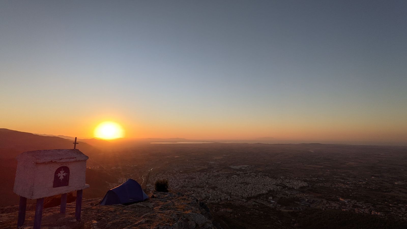
Avgo Peak or “Stavros Tsakiris”
Mount Avgo or “Stavros tsakiris” is next to the city of Xanthi. Its peak at an altitude of 650m. and a length of the trail a little over 2,5 km is a…